
5 of the Best Walks in Keswick
Surrounded by crags and fells on all sides and situated right on the edge of Derwentwater, there’s no shortage...


Renowned as the tallest mountain in England, Scafell Pike is one of the country’s most iconic natural landscapes, attracting walkers and adventurers from across the UK and beyond.
Whether you’re planning your ascent, searching for the best places to stay nearby or looking for helpful tip before setting off, this guide covers everything you need to know about visiting Scafell Pike.
Continue reading to discover routes, accommodation options and essentials tips to help you make the most of your exploration…
Use our quick links below to jump straight to the Scafell Pike information you’re looking for:
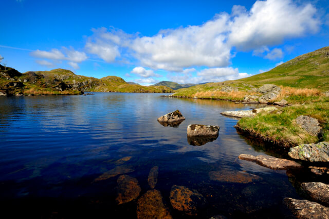
Scafell Pike sits in the heart of the Lake District National Park, just a stone’s throw away from Wasdale Head and Wastwater, the deepest lake in England. Scafell Pike forms part of the Scafell Massif, which consists of Scafell Pike, as well as Broad Crag and Ill Crag. It’s also part of The Southern Fells, together with Great Langdale, Borrowdale and Wasdale.
Depending on which direction you want to tackle Scafell Pike from, there are a number of ways to get to it. If you’re approaching from the west, then we’d recommend parking at the National Trust’s Lake Head Car Park in Wasdale.
If you’re approaching from the north, then the village of Seathwaite is the place to head to. If approaching from the east, head to Langdale. Whereas if you’re tacking Scafell Pike from the southwest, then Eskdale would be your best point of access.
Towering over 978 metres, Scafell Pike is one of the Lake Districts most popular outdoor adventures. The most prominent peak in the country, this Lake District Mountain is included in the National Three Peaks Challenge.
Competitors aim to summit Ben Nevis in Scotland, Snowdon in Wales, and Scafell Pike in England within 24 hours. Scafell Pike is the smallest of the three mountains, with Ben Nevis sitting at 1,345 metres and Snowdon at 1,085 metres.
Its neighbour, similarly named Scafell, sits just short of Scafell Pike at 964 metres, with Helvellyn second at 950 metres.
Depending on the route that you take, it typically takes between 3-6 hours to complete the Scafell Pike walk. The weather is likely to have an impact on this, along with the ability and fitness level of the climber.The shortest of the routes up Scafell Pike to the summit is the steep ascent from Wasdale Head. The route typically takes between 3-4 hours and is popular with those attempting the Three Peaks Challenge.
The Scafell Pike Corridor Route is considered the longest route of the Scafell Pike walks. Stretching over eight miles, this trail begins in Seathwaite and is thought to take up to six hours.
There are a total of five routes leading to the summit of Scafell Pike. The trails leading from Wasdale, Borrowdale, and Langdale are the most popular routes, each offering a varied climbing experience. The ascent from Eskdale is ideal for those looking to escape the crowds, whilst the Scafell Pike Corridor Route from Wasdale Head is a longer alternative to the trail from Seathwaite.
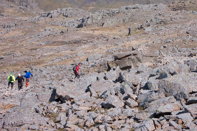
While the routes up Scafell Pike are varied, they are all challenging. Although not considered technical, the ascents to the peak are lengthy and steep and should not be underestimated.For more information, take a look at this Scafell Pike routes map. Why not try them all and find the best route up Scafell Pike for yourself!

Considered the most popular Scafell Pike route, Wasdale Head sees most Three Peaks competitors tackle the climb. Although this is the shortest route, please keep in mind that this is a steep ascent. An almost vertical climb travels straight up the mountain from bottom to top.
The hike begins at the Wasdale National Trust Car Park, adjacent to the Wasdale campsite. Cross the Lingmell Beck via the footbridge and begin the vertical climb up the hillside. You’ll join a steep footpath running alongside Lingmell Gill before reaching Hollow Stones.
Traverse the area of rocky boulders to a zig-zag path before continuing on to Lingmell Col. Here, the pathway is less obvious, and some scrambling may be necessary. The summit marker at the top of Scafell Pike should come into view shortly, where you’ll be rewarded with far-reaching views across Wast Water.
Starting Point: Wasdale Head National Trust Car Park
Distance: 8.7km
Scafell Pike Climbing Time: 3-4 hours
Scafell Pike Difficulty: Hard
Perhaps the most scenic of the Scafell Pike routes, the Scafell Pike Corridor Route showcases the wonderous natural beauty of the National Park. The trail begins at Seathwaite Car Park, where parking is available at £5* per day. Free roadside parking is available, however spaces are limited.
Follow the southward track alongside the shores of the River Derwent before crossing Stockley Bridge. The path climbs gradually up Grains Gill, passing steeply as you reach the glistening waterfalls.
The route continues along the mountain pass of Esk Hause before climbing between Great End and Ill Crag. The top of Scafell Pike will come into view as you traverse across Broad Crag.
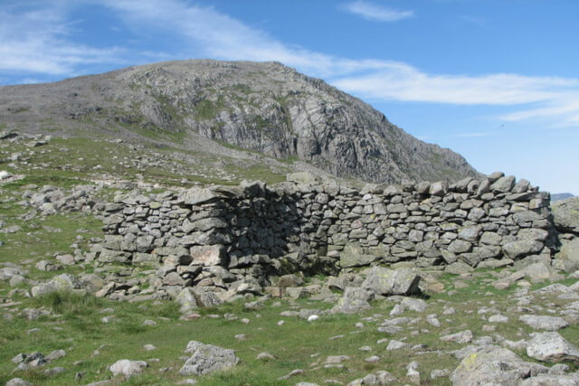
Be sure to take care on the steep ascent to the summit, as the rocky ground can be loose underfoot. There’s plenty of picture-perfect views to see along the way, including Styhead Tarn and the slopes of the Scafell Massif.
Starting Point: Seathwaite Car Park
Distance: 14km
Scafell Pike Climbing Time: 6-8 hours
Scafell Pike Difficulty: Challenging
If you’re looking for a longer route, we would recommend the hike to Scafell Pike via the Langdale Pikes. The Langdale route up this Lake District mountain frames some impressive views along the way. Soak in the scenery of the surrounding countryside, valleys and beyond.
Make use of the National Trust’s Stickle Ghyll Car Park adjacent to the Old Dungeon Ghyll Hotel where this route begins. Join the Cumbria Way tucked away at the rear of the hotel and follow the trail alongside the towering peaks of the Langdale Pikes.
You’ll reach a footbridge crossing over Stake Gill before reaching a signpost for the Rossett Pass. Here the trail begins to climb alongside Rossett Gill, dropping to Angle Tarn before meeting a series of paved steps at Tongue Head.
When you reach Esk Hause you know you’re on the right path. From here, continue on to the rocky ridge of the Scafells, where you’ll meet with hikers of the Wasdale route.
An uneven path cuts its way between Ill Crag and Broad Crag leading to Broad Crag col. The final step of the climb is a steep descent and subsequent ascent of the col, which will reveal the rocky summit of Scafell Pike.
Starting Point: Stickle Ghyll Car Park
Distance: 20km
Scafell Pike Climbing Time: 6-8 hours
Scafell Pike Difficulty: Challenging
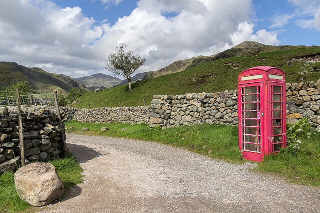
A lesser-known Scafell Pike walking route, if you want to avoid the crowds, you’re best following the Eskdale path. Parking is available in the Wha House National Trust’s Car Park, a short walk from the starting point.
A short walk along the single track road leads to a disused red telephone box at the foot of the Hardknott Pass. Pass the telephone box on your right hand side and follow the trail north alongside the River Esk. Cross the bridge and head toward Taw House, following the path north in direction of Scale Bridge.
Keep the water to your right hand side as you cross the bridge and continue along the trail, eventually meeting the impressive waters of Esk Falls. The peaks of the Scafell Massif come into view as you begin to climb the rocky gorge.
The route continues past Sampson’s Stones, making a steep ascent toward the rocky summit of Pen. The peak of Scafell Pike sits slightly further afield, with a climb of Rough Crag and Chambers Crag bringing the summit of the mountain into view.
Starting Point: Wha House National Trust Car Park
Distance: 17km
Scafell Pike Climbing Time: 6-7 hours
Scafell Pike Difficulty: Challenging
Starting in Wasdale Head, this Scafell Pike walking route offers an alternative start to the much-loved Corridor Route. Much like the above mentioned Wasdale Head route, this hike begins at the Scafell Pike car park, the Wasdale National Trust Car Park.
A footpath lies just beyond the Wasdale Head Inn, with the track of Moses Trod venturing into the heart of the valley. Some easy scrambling may be necessary as the trail begins to ascend. The enchanting waters of Sty Head Tarn make for a pleasant stop to soak in the far-reaching views.
From here, you can join the Corridor Route by crossing the stepping stones and making a small descent. The path is relatively straightforward to follow from here, descending onto Greta Gill before climbing Piers Gill and Lingmel Col. A zig-zag ascent climbs to the summit, where a rocky scramble will bring you to the trig point.
Starting Point: Wasdale Head National Trust Car Park
Distance: 7.7km
Scafell Pike Climbing Time: 3-4 hours
Scafell Pike Difficulty: Challenging
The most popular Scafell Pike car park, the Wasdale National Trust Car Park provides easy access to the most popular Scafell Pike walking route.
There are 100 spaces, with parking for Scafell Pike available at £7* per day. You’ll find toilets, an information centre, a small shop, and a food concession, ideal for fuelling a day of adventure.
Scafell Pike Car Park Postcode for Wasdale Head: CA20 1EX
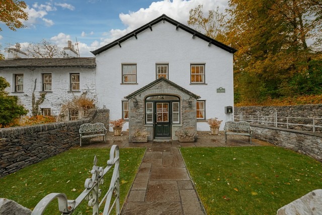
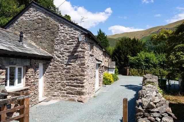
Thinking of following one of these Scafell Pike routes? Book one of these wonderful Lake District cottages and have somewhere to put your feet up following a day of adventure. For more ideas on where to test your climbing boots this year give our guide on 7 Lake District mountains that are worth the hike a read!
Images courtesy of: KA – (CC BY-SA 2.0); Christine Matthews – (CC BY-SA 2.0); Sheffield Tiger – (CC BY 2.0)

Hello, I'm Lizi, and I joined the team in May 2021. My favourite staycation destinations include Cornwall, Northumberland, and as ...
Read More About AuthorSign up to receive exclusive offers, competitions and the latest news to your inbox, and you'll be entered into our monthly prize-draw 3 times!
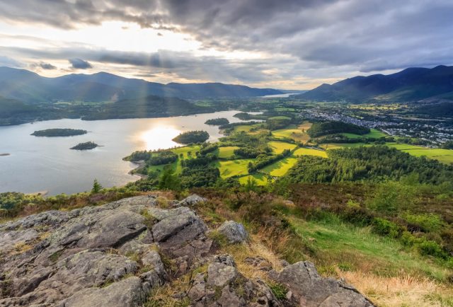
Surrounded by crags and fells on all sides and situated right on the edge of Derwentwater, there’s no shortage...
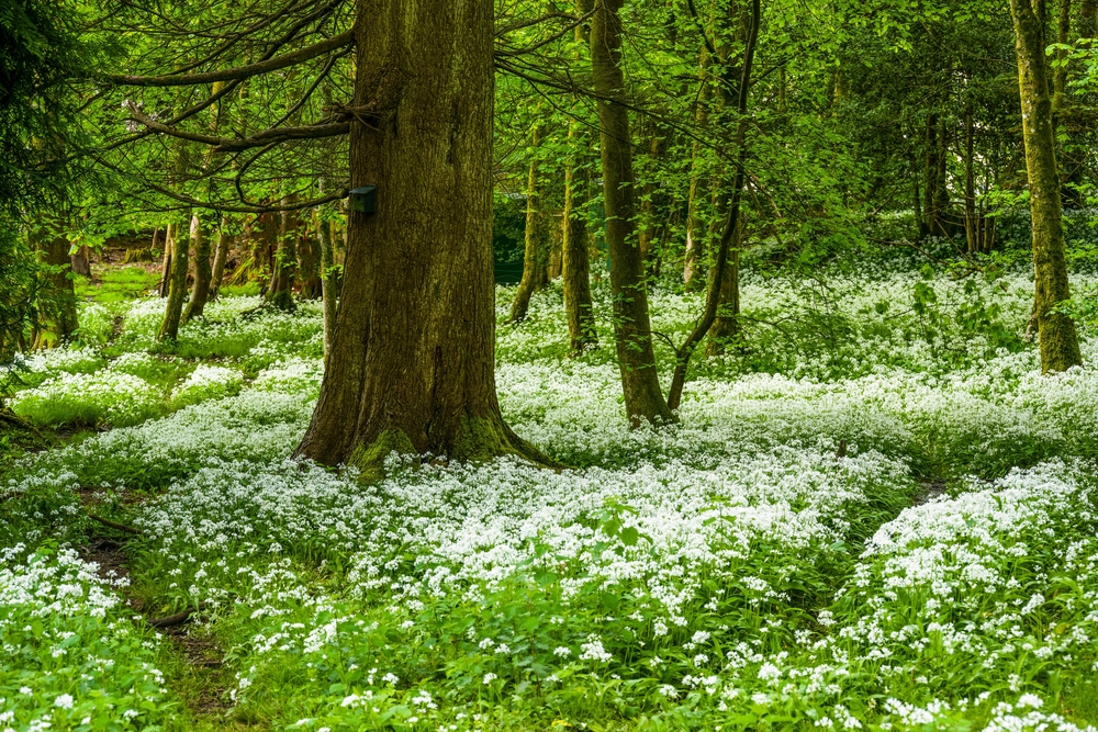
Spring walks in the Lakes are high up on our to-do list. Finally waking up from winter slumbers, the...
Made up of four summits, the Langdale Pikes are one of the Lake Districts more famous walking rounds. Sitting...

